Apple under Tim Cook is making all the right marketing decisions for launching its iWatch product. Shrouding their products in secrecy until the release has been a very successful strategy. The templates and dummies that leak through its suppliers act as an effective advertisement kindling the curiosity among its consumers, youth and the gadget savvy.
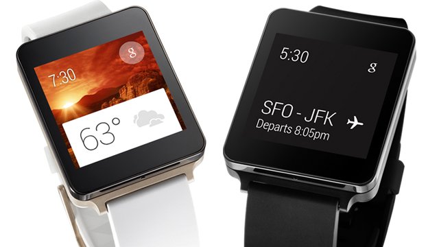
Typical of the android ecosystem, a lot of players wanted to be the first in bringing out consumer facing wearable technology. LG G watch, Moto 360, Samsung Galaxy watch to name a few. What is common among all these devices is a lack of sense in design and usability. None of these are awe-inspiring enough to become a mass sensation. Albeit, they have managed to condition the market about wearable devices and when Apple rolls out its device, the market is already ripe and eager.

Apple has a unique advantage by not being the first player - Business Intelligence! By reading the market's reaction to Google Glass and these wearable tech, Apple can continuously refine and evolve its design and software features. Another area that it should foray is the biometric/fitness sensors industry. But more about this later.

In my opinion, Apple's iWatch has the potential to become a rolling hit among women if it has the following features.
Typical of the android ecosystem, a lot of players wanted to be the first in bringing out consumer facing wearable technology. LG G watch, Moto 360, Samsung Galaxy watch to name a few. What is common among all these devices is a lack of sense in design and usability. None of these are awe-inspiring enough to become a mass sensation. Albeit, they have managed to condition the market about wearable devices and when Apple rolls out its device, the market is already ripe and eager.
Apple has a unique advantage by not being the first player - Business Intelligence! By reading the market's reaction to Google Glass and these wearable tech, Apple can continuously refine and evolve its design and software features. Another area that it should foray is the biometric/fitness sensors industry. But more about this later.
In my opinion, Apple's iWatch has the potential to become a rolling hit among women if it has the following features.
- Industry leading battery life and easy charging facility. This is easy for Apple given their achievements with iPod nano and similar devices. The last thing you want to do is to charge a watch! Wearable devices should take care of it themselves (Casio has a line of watches that charge through solar cells).
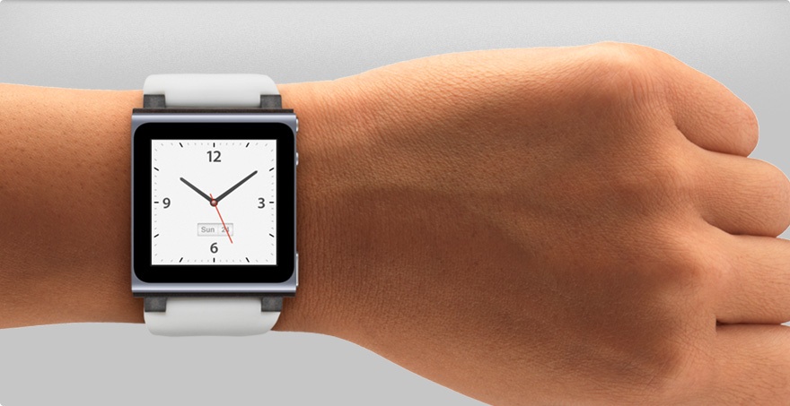
- Lets talk hardware design. The watch could possibly come in various shapes, but I prefer the traditional round face with distinct straps. The watch can add further customization through software skins.
- Biometric sensors - Including fitness sensors to monitor walking, running and sleep is a must. What can make a difference is making the watch waterproof and providing the ability to monitor swimming! Additions like heart-rate monitor will complete it. Fitness sensing is the next biggest industry and an avenue for big-data analysis!
- Tether range. Unlike men, women do not prefer to carry their phones in their jeans pockets, more so when newer iPhones come out in bigger sizes. Further it is a hassle to carry phones in hand. Hence phones are best stored in backpacks or handbags and tether range should be comparable to a wifi signal from a normal router - able to penetrate walls in 3 dimensions. This way, users can stove away the phones in bags with confidence they would not miss calls or messages.
- Now lets talk software. Apple cannot go wrong with hardware. But software is a beast and its minimalist motto might actually be to its benefit. The watch should be fully customizable through iPhone or iTunes. Some of the features it must have are
- Displaying time. Please, let the watch do its primary objective. Like the iPhone, time should get updated automatically when you fly across time zones and support displaying multiple time zones.
- Easy to use timer, alarm, stopwatch features. Dedicated hardware buttons or even better, tap gestures might do the trick.
- Notifications - subject lines of emails, SMS and push notifications could be briefly displayed. The user can then decide whether to pull the phone out and read the rest.
- Calls - this is essential, the ability to know the caller and reject the calls. Accepting the calls can perhaps turn the phone to speaker mode
- Siri - I am not sure how much the market uses voice actions. The most common way I use it it to send SMS to my wife that I am starting somewhere or to call her when my hands are busy. Integrating Siri interaction might be a good add on.
- Passbook and flight notifications - integrating flight notifications and passbook features would be terrific. This is an avenue where Apple can equal or surpass the abilities of Google Now
- Navigation - its funny to talk about displaying maps on a tiny screen, but believe me, this is big business. Displaying geocaching like instructions on a simple to read interface that does not require map interaction is hard to achieve, but a game changer once done.
- App based notifications - this is my favorite topic. Imagine providing a particular app the right to display notifications on your watch for a limited time. This could be any app, say a stock market app that gets dedicated screen space on your phone to push updates.. or a sports app with which you can stay on top of the score without having to pull your phone out, unlock it and fire the app!
- Emergency - It always pays to plan for the worst. A reliable, false positive proof way of making 911 calls, sending coordinates and notifying dedicated emergency contacts is essential. I would really want to see this.
- Behavior monitoring - fitness trackers like Jawbone Up, MisFit etc are making forays into this arena. Imagine the ability to set up physical activity goals and your watch gently nudging and reminding you to get up and go for a walk or drink a cup of water or cut down that coffee you just grabbed! At the end of a week or month, you can assimilate all the data, chart them and put it into perspective. Studies are coming out where doctors handed out fitness trackers to patients and self-monitoring has encouraged them to get to a fitter lifestyle.
- One last thing is an interface to skipping and repeating music.
In summary, the market for wearable devices is ready. The challenge lies in making the device non intrusive, casual looking and getting the software right without bugging the user with numerous settings and complex UI interactions.